With new updates in Maps, we’re making it easier than ever to make sustainable transportation choices across Europe, whether you’re planning a summer road trip, commuting to school or work, or running errands.
Find driving alternatives
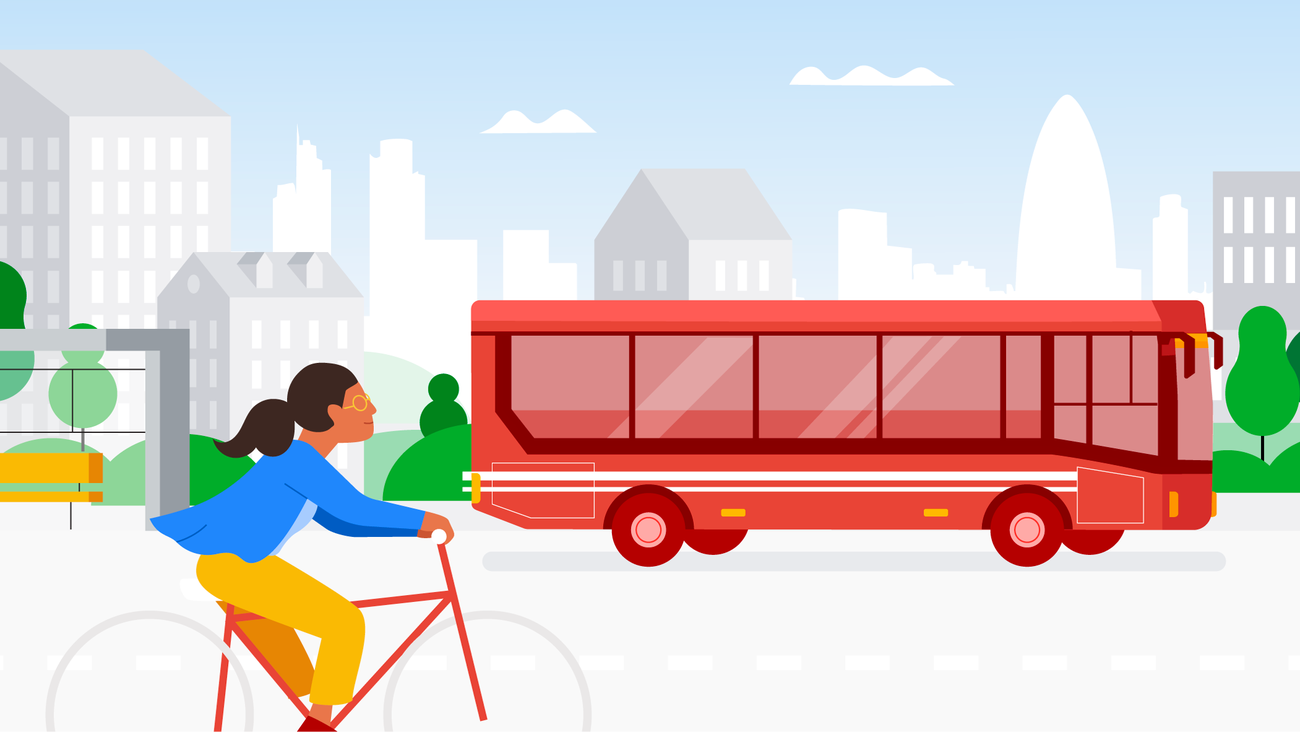
Last year we introduced a feature that uses AI to predict when walking or taking transit will get you to your destination in roughly the same amount of time as driving, and show you recommended walking or transit routes. Since then, this feature has helped people avoid tens of millions of car trips. It’s currently available in over 60 cities, and in the coming months, we’ll launch in Copenhagen, Stockholm, Warsaw, and more.
See helpful details about your cycling route
If you’ll be cycling this summer, we’ll show you helpful details about your route in even more places. Now, thanks to partnerships with local governments and data from public authorities, in cities like Hamburg, Madrid, Barcelona, Milan, Rome, Zurich, Budapest, Vienna, and Brussels, you’ll be able to quickly see lanes on your cycling route – along with familiar details like heavy car traffic or steep hills. We’re expanding this experience to 17 new cities, including 9 in Europe, covering 125,000 kilometers of bike lanes globally so you can know when you’ll have a dedicated lane.